News | July 5, 2017
New role for veteran ocean satellite
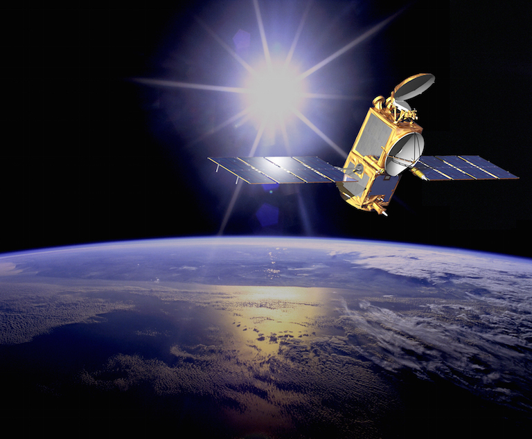
Illustration of the U.S./European Ocean Surface Topography Mission (OSTM)/Jason-2 satellite in orbit. OSTM/Jason-2 will soon take on an additional role to help improve maps of Earth's sea floor. Image credit: NASA-JPL/Caltech
A venerable U.S./European oceanography satellite mission with NASA participation that has expanded our knowledge of global sea level change, ocean currents and climate phenomena like El Niño and La Niña will take on an additional role this month: improving maps of Earth's sea floor.
The Ocean Surface Topography Mission (OSTM)/Jason-2 satellite, a partnership among NASA, the National Oceanic and Atmospheric Administration (NOAA), the French Space Agency Centre National d'Etudes Spatiales (CNES) and the European Organisation for the Exploitation of Meteorological Satellites (EUMETSAT), marked its ninth year in orbit on June 20. Designed to fly three to five years, OSTM/Jason-2 has now completed more than 42,000 trips around our planet, contributing to a database of satellite altimetry that dates back to the launch of the U.S./French Topex/Poseidon satellite in 1992.
Over the past nine years, OSTM/Jason-2 has precisely measured the height of 95 percent of the world's ice-free ocean every 10 days. Since its launch in June 2008, it has measured a 1.6-inch (4-centimeter) increase in global mean sea level, which has been rising at a rate of about 0.12 inches (3 millimeters) a year since satellite altimetry records began in 1993. It has also tracked changes in regional sea level; monitored the speed and direction of ocean surface currents; enabled more accurate weather, ocean and climate forecasts; and observed multiple El Niño and La Niña events. Since October 2016, it has operated in a tandem mission with its successor, Jason-3, launched in January 2016, doubling coverage of the global ocean and improving data resolution for both missions.
But as OSTM/Jason-2's onboard systems age and key components begin to show signs of cumulative space radiation damage, it has become prudent to move the older satellite out of its current shared orbit with Jason-3. On June 20, Jason-2's four mission partner agencies agreed to lower Jason-2's orbit by 17 miles (27 kilometers) in early July, from 830 to 813 miles (1,336 to 1,309 kilometers), placing it in a new orbit with a long repeat period of just more than one year. The move is designed to safeguard the orbit for Jason-3 and its planned successor, Jason-CS/Sentinel-6, planned for launch in 2020.
In its new orbit, OSTM/Jason-2 will also undertake a new science mission. The long-repeat orbit will allow OSTM/Jason-2 to collect data along a series of very closely spaced ground tracks just 5 miles (8 kilometers) apart. The result will be a new, high-resolution estimate of Earth's average sea surface height.
The shape of the sea surface is partly determined by underwater hills and valleys, which pull the water due to the force of gravity. Scientists will use these new OSTM/Jason-2 data to improve maps of the shape and depth of the sea floor, resolving many presently unknown seamounts (underwater mountains) and other geologic features on the ocean bottom. These new maps will permit advances in ocean modeling, tsunami wave forecasting, and naval operations support, and will boost understanding of the dynamics of the solid Earth.
The data will also help prepare for the next generation of global satellite altimetry missions, including the NASA/CNES/Canadian Space Agency/UK Space Agency Surface Water and Ocean Topography (SWOT) mission, planned for launch in 2021; and Sentinel-3B, to be launched by the European Space Agency in early 2018.
"It's still too early for OSTM/Jason-2 to sail off into the sunset," said OSTM/Jason-2 and Jason-3 Project Scientist Josh Willis of NASA's Jet Propulsion Laboratory in Pasadena, California. "The ocean covers more than 71 percent of Earth's surface, so improving our knowledge of the shape of the sea floor is like mapping a whole new world. These new data will also help pave the way for satellite altimetry missions that don't need to follow traditional satellite ground tracks."
While OSTM/Jason-2 is leaving its old orbit, data from its new orbit will continue to be used by operational agencies to provide societal and strategic benefits ranging from deriving ocean currents and improving marine, fishery and naval operations; to assisting in forecasting the intensity of tropical hurricanes and cyclones by identifying regions of high thermal energy in the ocean.
