Sea Level Evaluation & Assessment Tool
Regional relative sea-level change, or sea-level change as observed on land, is influenced by multiple physical processes that vary both in space and time, and which can lead to large regional departures from the long-term rate of global mean sea-level rise. Identifying the different processes contributing to sea-level change at a particular location is important as understanding the drivers of local sea-level change could lead to improved projections and decision making. The modern sea-level observing network along with recent advances in process-based understanding of sea-level variability offer the opportunity to quantify contributions from the leading drivers of regional sea-level trends.
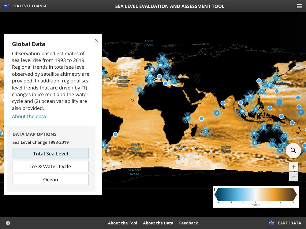
In the Sea Level Evaluation and Assessment Tool (SEA Tool), sea level trends resulting from different physical processes as measured by different observing systems are estimated and compared. This is done both globally and at specific tide gauges located around the world's coastlines. On global scales, sea-level measurements from satellites and profiling floats are used to produce maps of sea level trends from 1993 to 2019. At individual tide gauge locations, measured trends are interpreted in terms of the ocean, ice, and land drivers of relative sea-level change. This tool allows for an assessment of how well we understand recent sea level change and what is causing it.
A goal of this tool is to provide updated assessments of past, present and future sea-level change and improved capabilities as science and our observing network advances. This tool is supported by the broader NASA Sea Level Change Science Team. Updates to available information will be documented clearly.