Flooding Analysis Tool
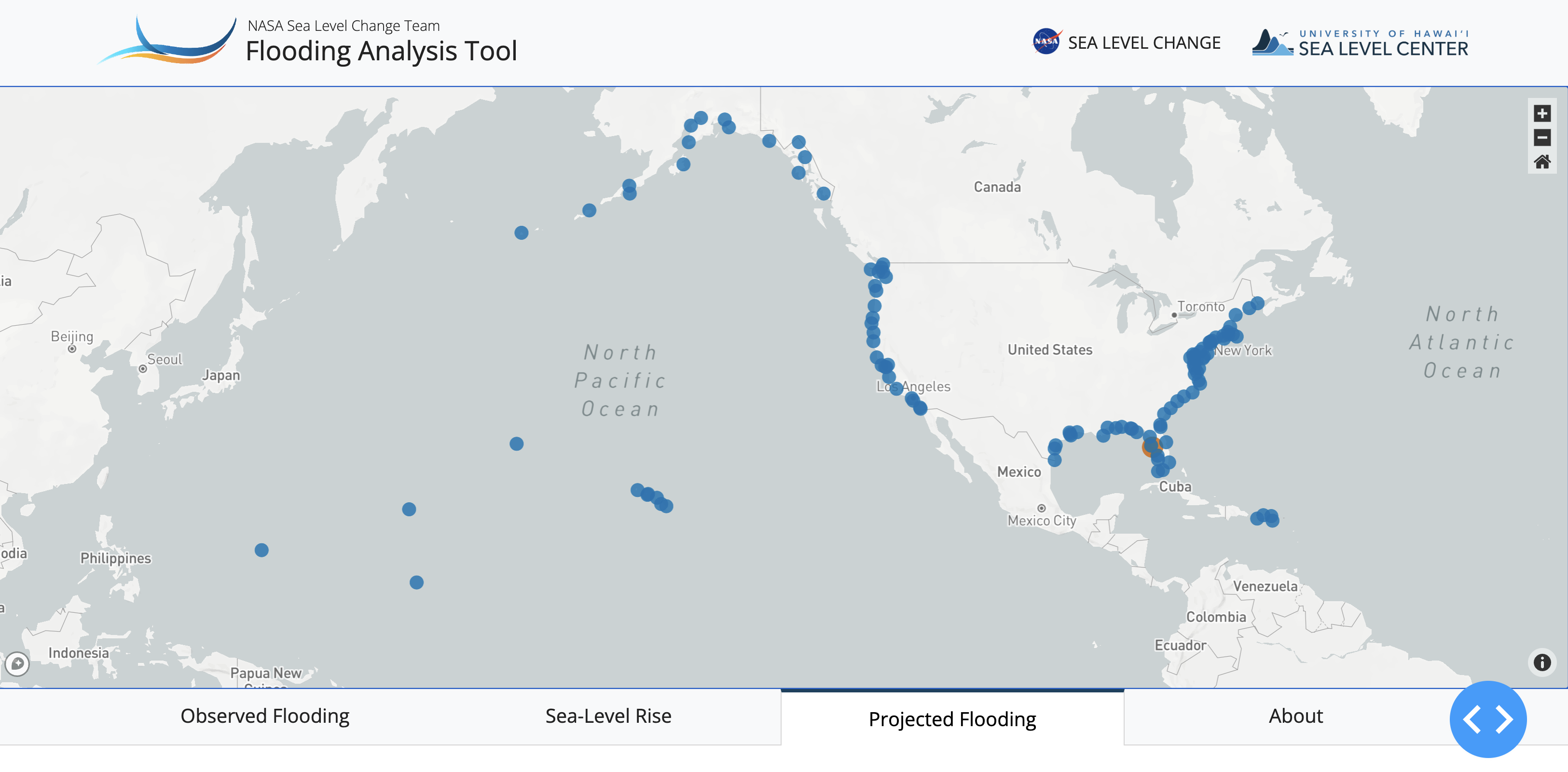
High-tide flooding is an increasingly frequent occurrence in coastal areas around the United States. The NASA Flooding Analysis Tool was developed to allow practitioners and decision-makers to assess how sea level rise and other factors will affect the frequency of high-tide flooding in coming decades on a location-specific basis. The tool is designed to be flexible and adapt to the user’s needs by allowing for results to be viewed for multiple future sea level rise scenarios across a range of flooding thresholds. The flooding projections are based on an analysis of astronomical tides and other natural fluctuations in tide gauge data in combination with sea level rise projections based on climate models.
The Flooding Days tool was developed by scientists at the University of Hawaii Sea Level Center and funded by the NASA Sea Level Change Team along with support from the NASA Climate Adaptation Science Investigators (CASI2) project. The methods used to produce these projections of high-tide flooding can be found here: Thompson et al. (2021). The future sea level rise scenarios come from the Interagency Task Force Report and can be accessed here: https://sealevel.nasa.gov/task-force-scenario-tool, with the underlying details found in Sweet et al. (2022).