
One of the challenges in sea level research is making data and resources accessible to those who must respond to the threat of rising seas.
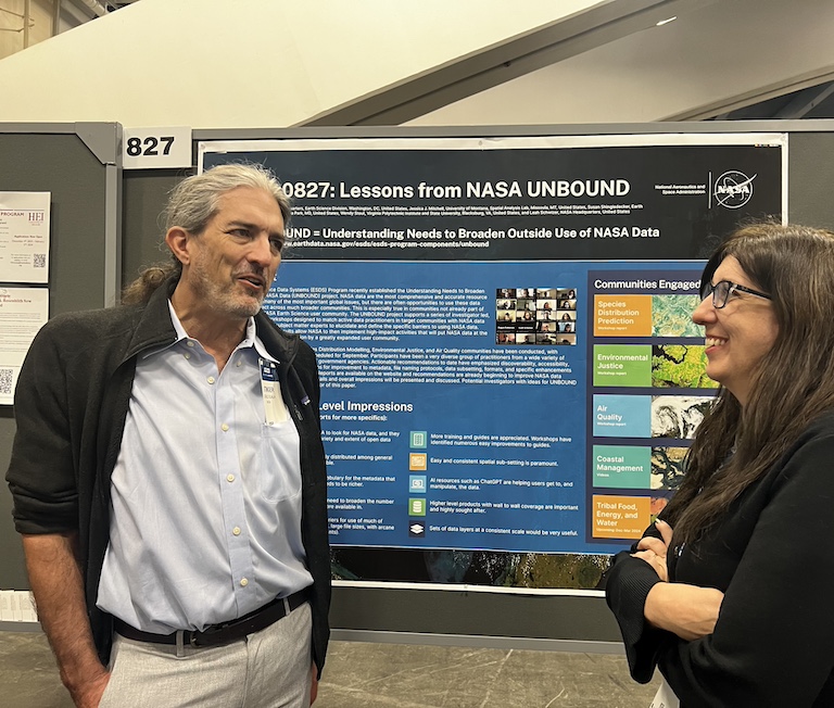
NASA’s UNBOUND project, short for Understanding Needs to Broaden Outside Use of NASA Data, is hosting a series of workshops designed to do just that.
UNBOUND organizers recently hosted a series of four workshops focused on coastal issues and invited scientists to discuss NASA data and to train coastal specialists on how to apply data to local response.
“We had discussions about the importance of sharing and investigating how NASA’s data really works to tackle the existential challenges that face our coastal communities,” said Wendy Stout, director of the Virginia Tech Coastal Collaborator Center in Hampton, Virginia. Stout, a leader of the workshop, said attendees also discussed how to make NASA data “more accessible and more easily usable to the people who need that data to solve coastal problems.”
The four workshop sessions included presentations, interactive segments and even homework for participants to get hands-on experience with NASA data.
“There is a huge appetite for these massive data products across the globe,” said George McLeod, the director of the Center for Geospatial Science Education and Analytics at Old Dominion University and also a workshop leader. “I know the primary mission is to serve the United States, but I heard time and time again from people [outside the United States] that they would love to have access to the data products that we have here.”
This includes NASA’s ARSET (Applied Remote Sensing Training) Program. It focuses on providing free training on using datasets and analysis tools for health, air quality, agriculture, disasters, water resources, ecological conservation, and climate.
“Our mission is building awareness around Earth-observing data and tools and their applications for specific thematic areas – to inform decision-making, enhance quality of life, and strengthen our economy,” said Sean McCartney, a trainer for ARSET and workshop presenter.
Spotlighting ARSET at the workshop helped expand awareness of available NASA data and resources, McCartney said.
“We’ve certainly been able to have a much bigger impact in terms of building capacity with individuals and institutions worldwide,” he said. “Lowering barriers for workforce development and strengthening the understanding of Earth observations for improved environmental management and decision-making is ARSET’s focus.”
Other participants in the UNBOUND workshop sought more guidance on using NASA data in their own work with sea level and the coast.
Patrick Williams, a policy planning analyst for the North Carolina Office of Recovery and Resiliency at the time of the workshop, was mainly concerned with the ability of communities to recover after events like floods or storms. Although his projects did not yet rely directly on NASA data tools, he hoped they would in the future.
“Some of the datasets are awesome, but they require processing and more knowledge,” Williams said. “I think there is a bit of a learning curve. [The workshop] was a great intro. I’d still definitely want to spend more time playing around with it on my own before I feel comfortable using it in a work setting.”
For other participants, the resources introduced have already become a part of their work.
“The NASA flooding analysis tool has different views such as projected or observed flooding and sea level change,” said Kyle Landon, a coastal engineer with Moffatt and Nichol. “All those come in handy [when] making initial assessments of flooding risk.”
He said he’s made reference to the NASA tool in his company’s work on port, water, and transportation infrastructure.
Amanda Miner, an environmental consultant with Envicom in Southern California, hopes to apply what she learned in UNBOUND to work she’s doing in sub-Saharan Africa and with the First Nations tribes in Canada.
“There’s not a ton of data that’s been processed for those places,” she said. “So, it is nice to see where some of it has been pre-prepared and properly modeled to save us time in getting good data before decision-makers.”
Stout and McLeod hope to continue their series of UNBOUND interactive sessions to further extend the reach of coastal research and resources.
