News | June 6, 2023
Why Seas are Rising Faster on the Southeast Coast
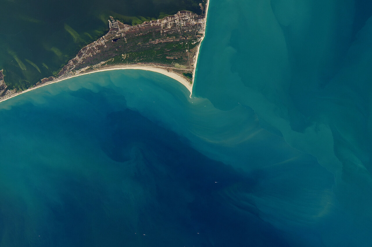
Cape Hatteras. Image credit: Jesse Allen and Joshua Stevenson for NASA Earth Observatory
The question: What is the source of accelerated sea level rise in the United States’ Southeast and Gulf coasts?
The answer: Sea level rise is not the same everywhere. In a recent study, researchers discovered that sea level in the Gulf Coast region is accelerating faster than in the past.
“We found that the area from Cape Hatteras at the Outer Banks into the Gulf of Mexico had a very high acceleration in the rates of sea level rise, with rates that were in excess of 10 millimeters per year,” said lead author Sönke Dangendorf, the David and Jane Flowerree Assistant Professor at Tulane University and member of the NASA Sea Level Change Team. “That’s approximately five times the amount that we have observed on average over the entire 20th century at these locations.”
Although the average acceleration of global sea level rise has also increased over the decades, it was mainly due to melting ice in regions like Greenland. For the Gulf Coast, the team used tide-gauge readings and satellite data from NASA missions like GRACE to rule out a few potential causes.
“We checked vertical land motion, for instance, and could relatively quickly say no,” he said. “We looked into the ice-melt component but it couldn’t explain the magnitude of the change that we have seen in that particular area.”
This left them with one other possibility: sterodynamic sea level, or the combination of ocean-water expansion in response to warming, saltiness, and ocean circulation. The team found that beyond Cape Hatteras, this acceleration extended into the North Atlantic and the Caribbean Sea.
But what is the source of this shifting circulation? According to Dangendorf, climate models reveal two factors at play.
“Approximately 40% of the acceleration that we have seen since 2010 can be attributed to man-made climate change, but there’s a residual 60% that we couldn’t explain with climate models,” said Dangendorf.
The remaining percentage was caused by natural wind-driven ocean circulation unique to the Southeast and Gulf Coast, the researchers found.
“It’s a region bounded by the western boundary current, or the Gulf Stream, so that makes it very prone to fluctuations and therefore we can see these massive changes on decadal time-scales,” said Dangendorf.
Why it’s important: Accelerated sea level rise and continued global warming will affect local communities, Dangendorf said.
“One thing that is particularly visible over this period of acceleration is that the high-tide flooding has on average doubled in the Gulf of Mexico,” he said. “We are very close to a threshold that any further increase in the rate of sea level rise will lead to substantially larger, exponential changes in high-tide flooding, bringing a big burden for many of the communities in the area that haven’t dealt with that much before.”
This is on top of the damages caused by seasonal hurricanes like Katrina or Sandy that are expected to become more frequent due to climate change. The community may need to prepare for these risks.
Dangendorf says that the next step is to expand their research along the entire coast.
“We want to understand how these acceleration hotspots shift along the coastline, and the role of ocean dynamics,” he said. “We want to investigate how we can understand these natural fluctuations, and better predict them into the near future.”