News | August 23, 2022
Using Past Sea Level to Predict the Future
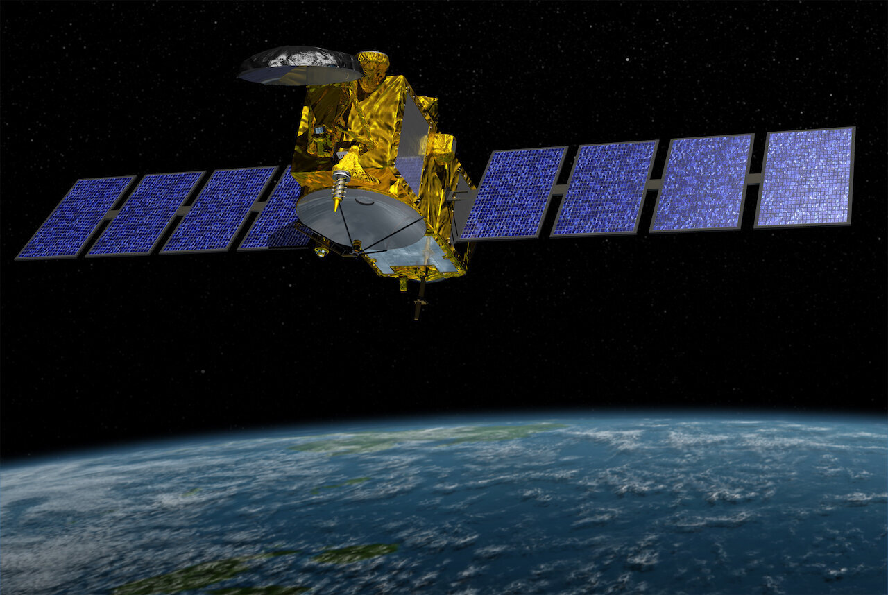
Artist’s rendering of Jason-3 satellite. Credit: NASA/JPL-Caltech
The question: How can we use existing satellite data to assess future sea level change?
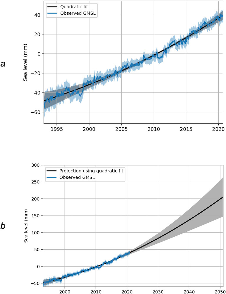
The answer: In a recent study, scientists assessed the trajectory of 30 years of past satellite measurements, and then followed this trend 30 years into the future to get an estimate of mean sea level change in 2050.
Satellites such as TOPEX/Poseidon, the Jason-1,2,3 missions and Sentinel-6 MF track the time it takes a radar pulse to travel from the satellite’s antenna to Earth’s surface, and back, to measure sea-level height.
The researchers used these observations to develop a simple equation based on the rate and acceleration of mean sea-level rise to predict that global average sea level will be 6.4 inches (16.4 centimeters) higher in 2050 than it was in 2020. This simple model compares favorably to projections from complex climate models, but is completely independent.
Any sea-level forecast comes with some uncertainty, especially when looking decades into the future. But one way to reduce it is to assess future sea level change with multiple independent techniques and compare them, said Steve Nerem, the lead author of the study and a member of the NASA Sea Level Change Team.
For this study, that included looking at models of other causes of sea level change and comparing them with their new models.
“A lot of variability in the global mean sea level time series is due to El Niños and La Niñas,” Nerem said. “So, we used a model that was derived from the data for the effect of El Niños and La Niñas and removed an estimate of those impacts on mean sea level.”
This allowed the scientists to reduce the uncertainty in the predictions due to natural variations in sea level.
Why it’s important: The new findings provide a data-driven method for assessing future sea level change that is independent of climate models. Nerem says that this will not only prove useful to the researchers studying sea level, but also to non-scientists.
“We’ve observed sea level over the last 30 years and now we’re seeing where that trajectory takes us if it continues into the future,” he said.
In upcoming studies, the team plans to focus on regional sea level.
“Sea level is not the same everywhere and that’s a big piece that this present study ignores,” Nerem says. “So, we’re trying to figure out how to include the observations of regional sea level variations around the world into this technique.”
Using findings from this study, the researchers hope to create a map of sea level rise 30 years from now.
“If we didn’t have these satellite observations, we’d really be blind,” he said. “We need to keep supporting the launch of these missions so we can establish a longer climate data record of sea level change and better detect the effects of climate change.”