News | April 20, 2018
Teamwork: NASA sea-level scientists join forces
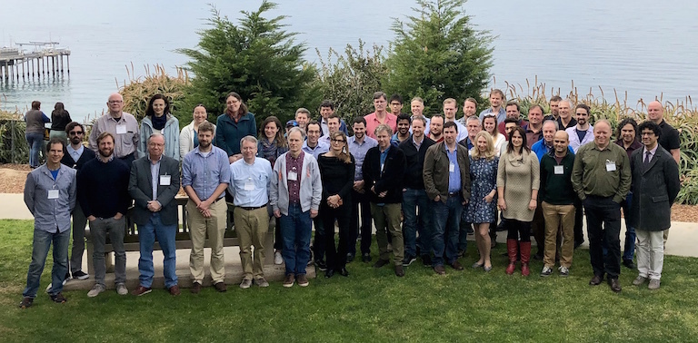
The new NASA Sea Level Change Team during March meeting in La Jolla, California. Image credit: Steve Nerem.
The NASA Sea Level Change Team is back.
A newly formed group of scientists – the team’s second incarnation since 2014 – met in early March 2018 in La Jolla, California, to set priorities for sea level research over a three-year period.
About a third of the 50 scientists, engineers and technicians in attendance returned from the previous team, while the rest were new members. And leadership of the team passed from Steve Nerem, of the University of Colorado in Boulder, to Ben Hamlington of NASA’s Jet Propulsion Laboratory in Pasadena (formerly of Old Dominion University in Virginia).
Hamlington and Nadya Vinogradova, program scientist at NASA headquarters in Washington, D.C., outlined the team’s mission: to foster individual research projects while also knitting them together in a collaborative framework.
“Headquarters will treat the N-SLCT (sea level team) as a single project, that consists of multiple (principal investigators and co-investigators) working for the common good and common success of the team,” she said.
In a seaside meeting at the Scripps Institution of Oceanography that spanned two days ending in red and gold-tinged sunsets, the science group also reaffirmed the key role of NASA’s Sea Level Change Portal.
The Internet platform, launched in 2014, includes sea-level news and feature stories, a running tab tracking changes in ice mass, sea level and other key indicators, and interactive tools to create maps, charts and figures derived from publicly available NASA data sets.
And while the public is invited to explore the portal, its target audience remains the science community.
“The idea was to create a web portal where the whole science team could go to collaborate,” said Carmen Boening, a project scientist and deputy section manager at JPL who is also principal investigator for the Sea Level Change Portal.
Charting a course
Members of the team provided short summaries of their most recent research, including computer modeling of ice sheet and ocean changes, as well as projections of future changes. They examined a variety of factors that affect long-term sea level rise, such as vertical land motion, variability in sea levels over years and decades, and the melting of glaciers.
The science group also agreed that its three-year mission would be focused on products – research findings and web-based tools – with practical applications. The tools would be deployed on the sea-level portal.
One idea was to provide coastal planners and the public with projections of future relative sea level – that is, sea level in relation to coasts. The web-based, interactive tool would capture specific regions and a range of time and spatial scales.
A similar tool would zero in vertical land motion, a key component of sea-level-rise projections. Data on such motion, the rise or subsidence of land areas, would be based on the most recent reports from the Intergovernmental Panel on Climate Change.
A key function on such tools, the group suggested, would allow users to click on a specific location to bring up science results for that area.
And the scientists also discussed preparing sea-level-rise case studies, “down to the street level,” especially for coastal areas likely to experience increased flooding.
As he wrapped up the meeting, Hamlington suggested working more closely with coastal planners and other stakeholders who need practical information about sea level rise.
“The end of the three years should be viewed as an endpoint to make adjustments – lay a marker out there that we can improve upon,” Hamlington said. “We can bring in stakeholders who are concerned about these things. We in this room know enough stakeholders to keep them involved, and have them be informed of what we’re doing.”
