Missions
Ice, Cloud, and land Elevation Satellite (ICESat)
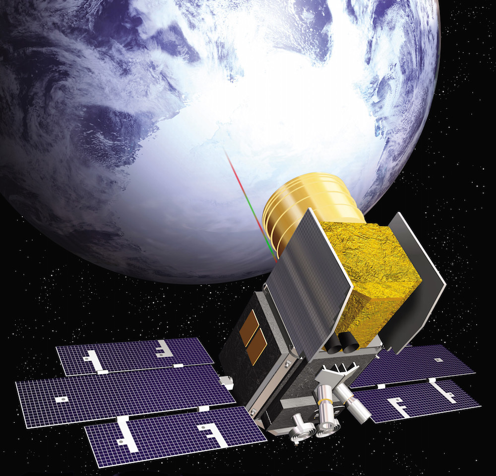
ICESat, (the Ice, Cloud and land Elevation Satellite), provided multi-year ice sheet elevation measurements from 2003 to 2009. It fired short pulses of laser light to the surface, using the time they took to reflect back from the surface and return to the satellite to determine surface height.
It measured ice-sheet mass balance as well as cloud and aerosol heights. ICESat revealed cloud properties, including stratospheric clouds over polar regions, as well as surface topography and vegetation data from around the globe.
These measurements included data on changes in the polar portions of the Greenland and Antarctic ice sheets.